
GLD360
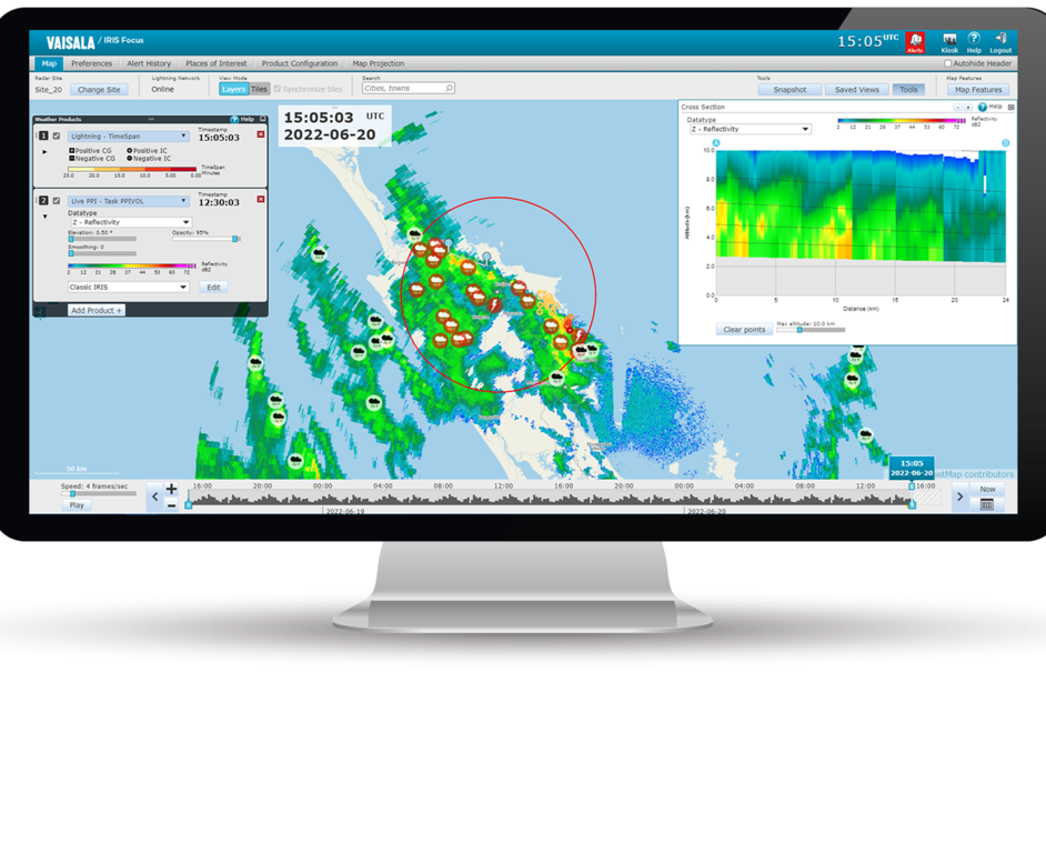
Vaisala Global Lightning Dataset GLD360 provides real-time lightning data for accurate, early detection and tracking of severe weather. You can view the GLD360 data in IRIS Focus as an external WMS layer.
The GLD360 layer is a visualization of weather data provided by a uniform, global network owned and operated by Vaisala. Cloud-to-ground and cloud lightnings are detected instantly, and data is delivered in less than one minute.
You will have access to a 24/7 stream of lightning data from any location you choose. Similarly to the other external WMS layers, the GLD360 is an image layer which you can combine with other product layers and map layers.
The GLD360 layer is re-projected as an azimuthal equidistant projection when viewing a single radar site, and as a Web Mercator projection when viewing several sites.
The detection accuracy of the GLD360 exceeds other long-range systems, including satellite data. It detects about 8 out of 10 cloud-to-ground lightning flashes worldwide and a significant fraction of cloud lightning flashes, with a location accuracy of 2 to 3 km.
To take the GLD360 layer into use, the IRIS Focus server must be online, and your organization must have an active subscription to GLD360 data. A system administrator needs to enable the layer.