
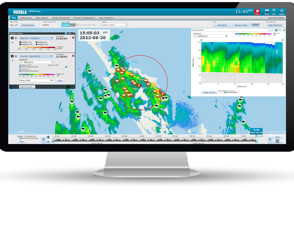
External WMS product layers
WMS layers from external sources, such as satellite images and radar data from an external radar network, can be added to IRIS Focus and viewed on the map exactly like other radar product layers. Many characteristics of the external product layers, such as the availability of the color legend, depend on the layer providers.
The external WMS layers are images, and only available in certain projections. You can only view those external WMS layers that support the projection you are currently viewing.
For example, if the requested WMS layer
is only available in Web Mercator projection, and the radar site is configured in azimuthal
equidistant projection, the WMS layer will not be shown.
IRIS Focus supports both WMS and WMS-T layers. WMS-T layers are layers with time parameters included in the request.
 | For more information on adding WMS layers, see IRIS Focus Administrator Guide. |