
Map layers
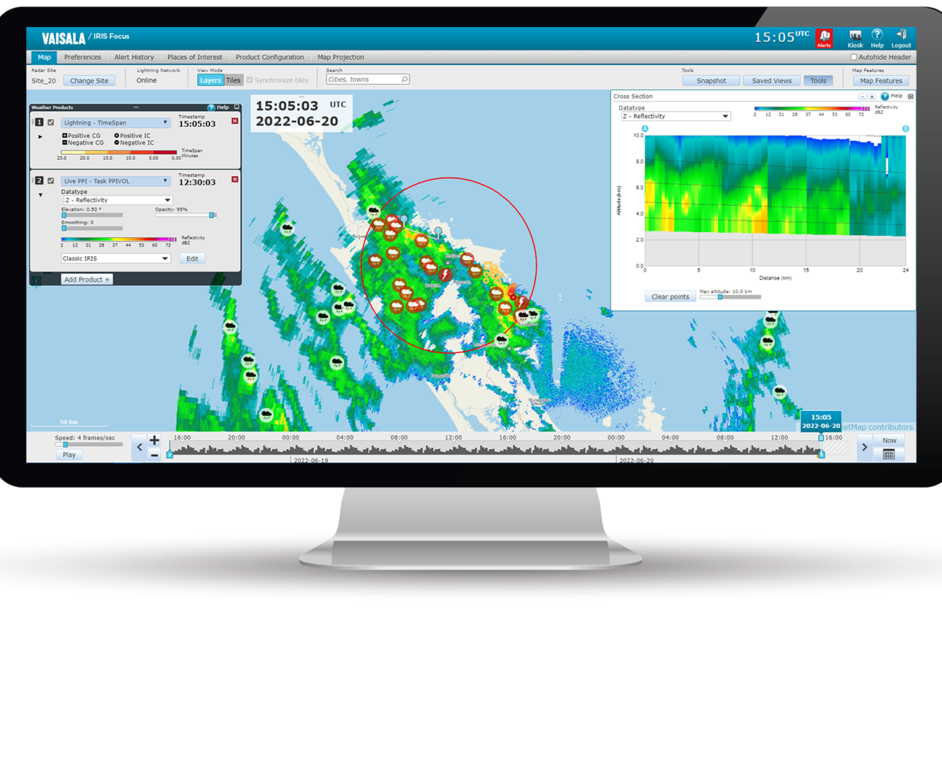
The background map and the weather data visualizations are drawn as individual layers and then combined to form an overview of current weather conditions.
You can also view WMS layers from external sources, such as satellite image layers, as layers on the map.

Map layers
The background and foreground consist of non-interactive layers. At the bottom is the map base layer, which can be enhanced with the map detail layer containing roads, province boundaries, and other similar terrain features.
Product layers
IRIS Focus users may have up to four product layers included in the map rendering, consisting of any combination of the IRIS Focus or external WMS products that the installation is licensed for.