
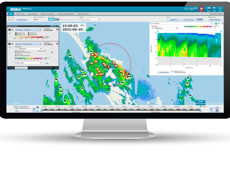
Calculating MAX
For each pixel in the image, the algorithm calculates MAX as follows:
- Calculates the azimuthal equidistant (AzEQ) cylinder volume around the radar.
- Uses co-ordinates in AzEQ to calculate the distance from the radar (vector length).
- If the point is in the radar's range for that particular product, the algorithm calculates the azimuth angle to the radar.
- Using the previous calculations, the algorithm calculates the maximum data value of the specific air column.
The horizontal maximum projection is calculated by taking the highest data value in the user-specified layer over each pixel.
The east-west maximum projection is obtained by taking the maximum data value for each pixel along the corresponding north-south line.
The north-south maximum projection is obtained by taking the maximum data value along east-west lines.