
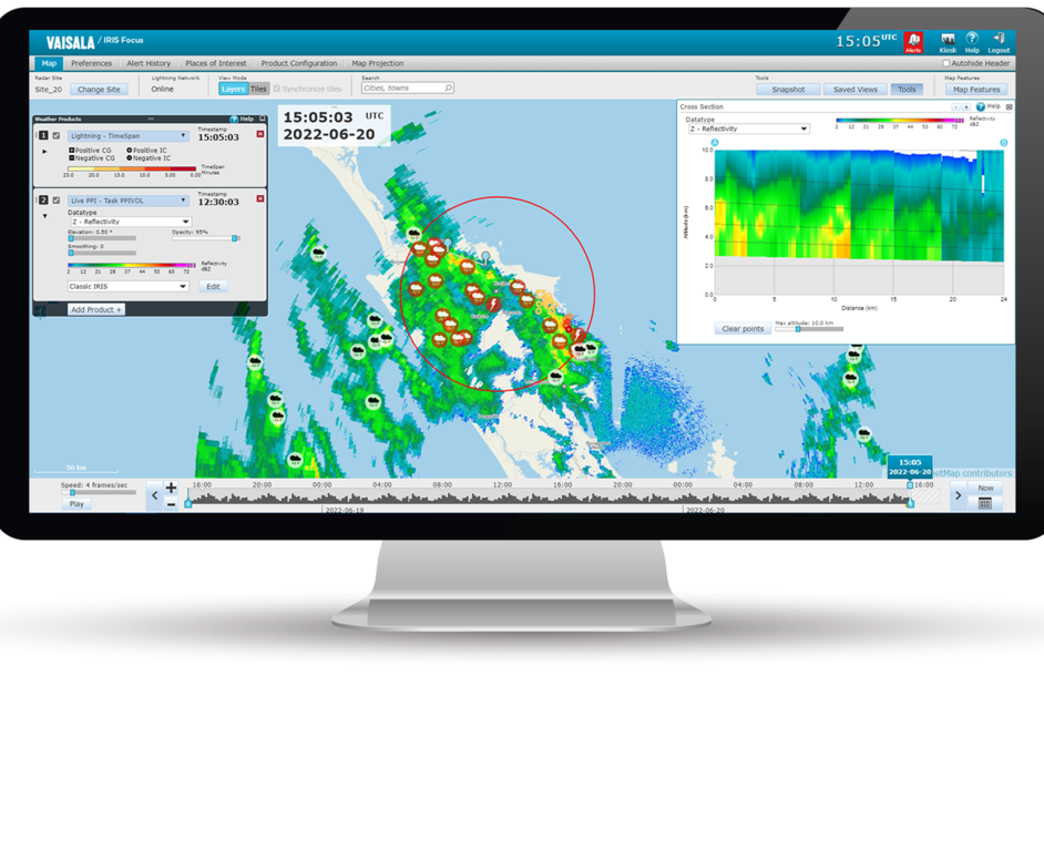
Plan Position Indicator (PPI)

PPI (Plan Position Indicator) displays the signal reflectivity on a surface layer that is formed as the radar performs a full 360° horizontal sweep at a constant elevation.
PPI is the classical radar view that is used for visual weather surveillance and air traffic control, among other uses. The products are refreshed as soon as the sweep is completed instead of waiting for the end of a full volume scan.
In the following image, the PPI scan is performed on the highlighted elevation.

