
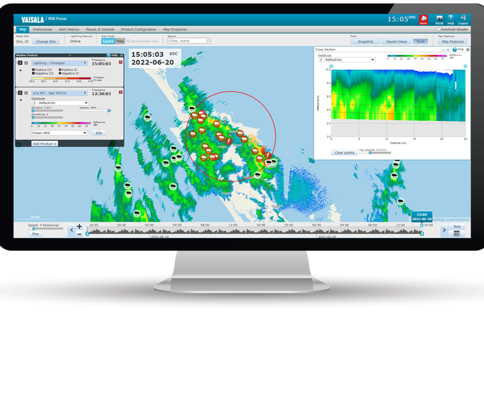
PPI elevation angle
The configurable elevation angle defines which elevation angle sweep is displayed in the image.
Use the elevation slider to define the displayed PPI elevation.
The first image shows PPI with a 45° elevation angle defined. In this image, the high-level clouds are displayed in the IRIS product.
The second images shows PPI with a 20° elevation angle defined. In this image, the lower-level clouds are displayed in the IRIS product.
 | A and B in the image indicate start and end of a vertical cross section through the radar's scan volume. |
