
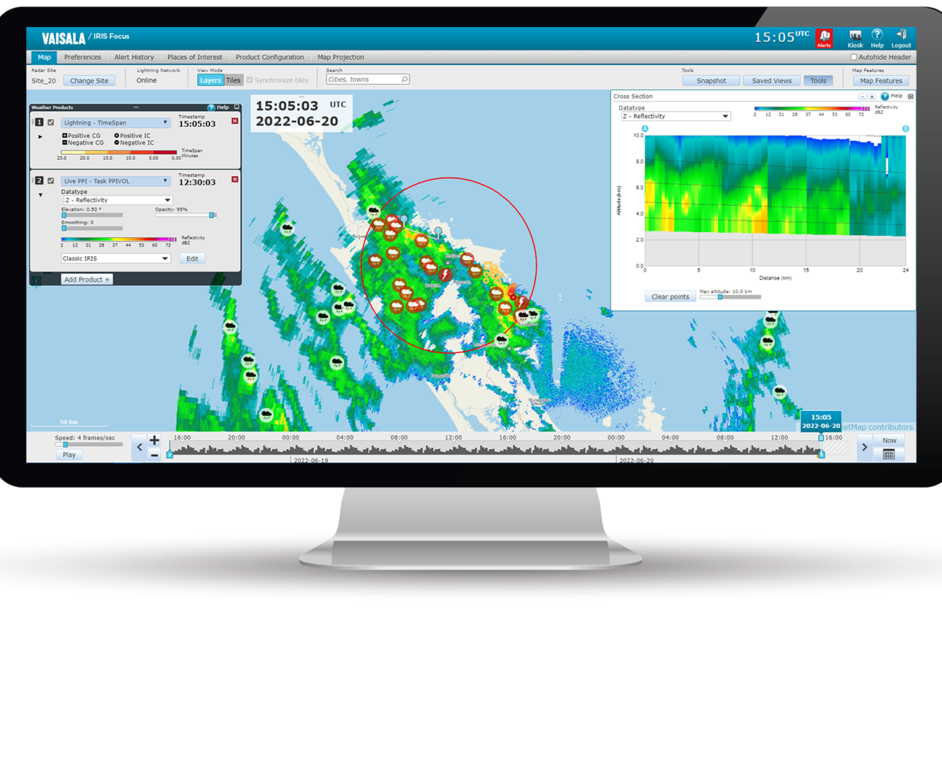
On-demand maximum data (MAX)
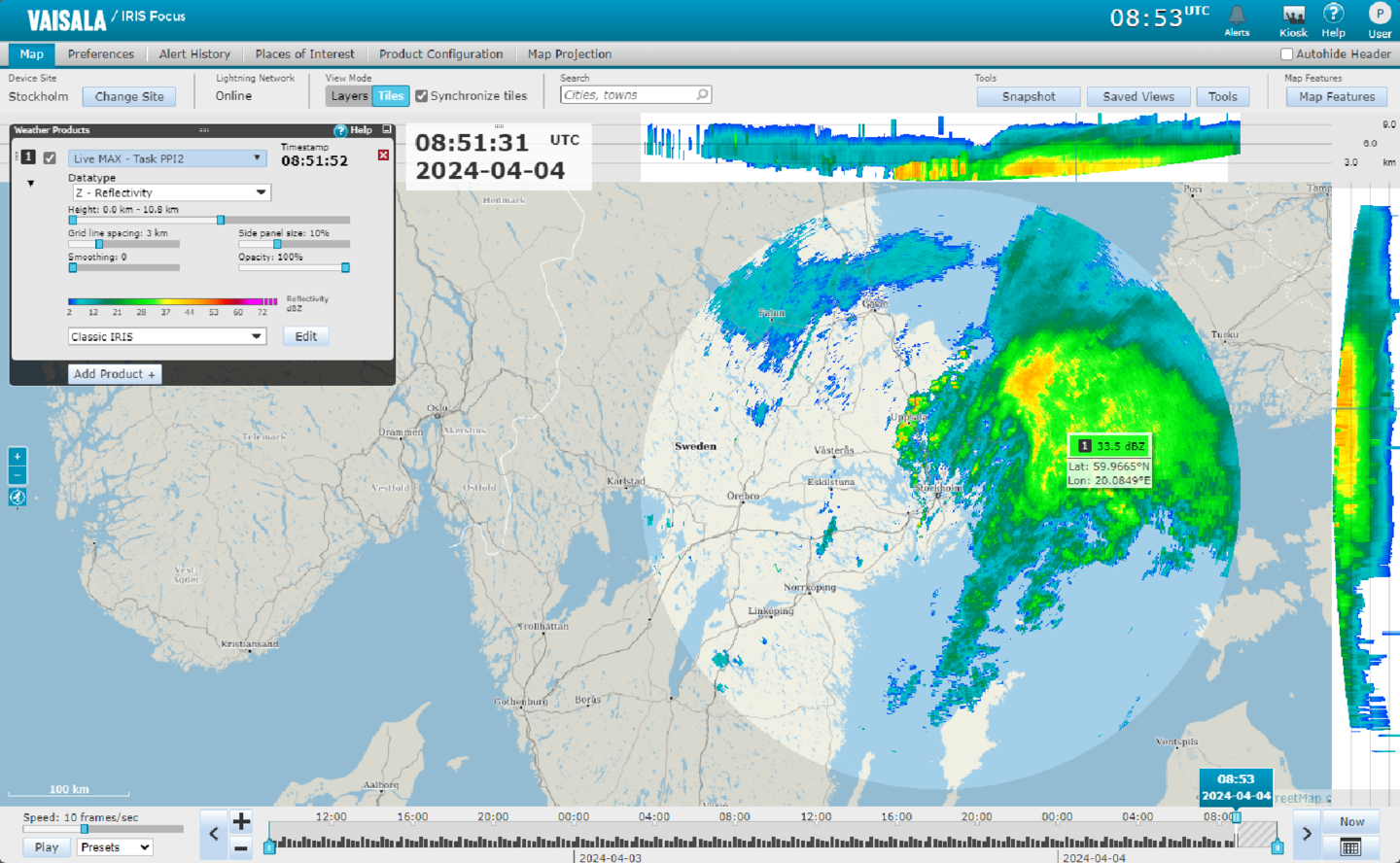
On-demand MAX shows the echo height at which the maximum data, such as reflectivity, occurs.
You can use MAX when observing areas of severe weather, for example, from the surface to the troposphere, in the layer below the melting level, or in the layer above the melting level.

In the main view, MAX shows the maximum values in all points of the measured area. Top and right side panels show two horizontal projections: north-south and east-west.
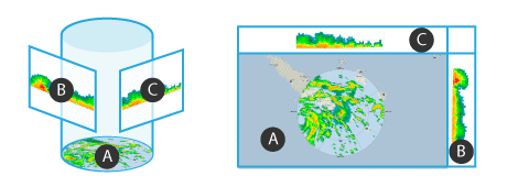
- A
- Horizontal maximum projection
- B
- North-South maximum projection
- C
- East-West maximum projection
 |
To show detailed information about the measured area, hover over the measured area in either the map view or side panel. 
|